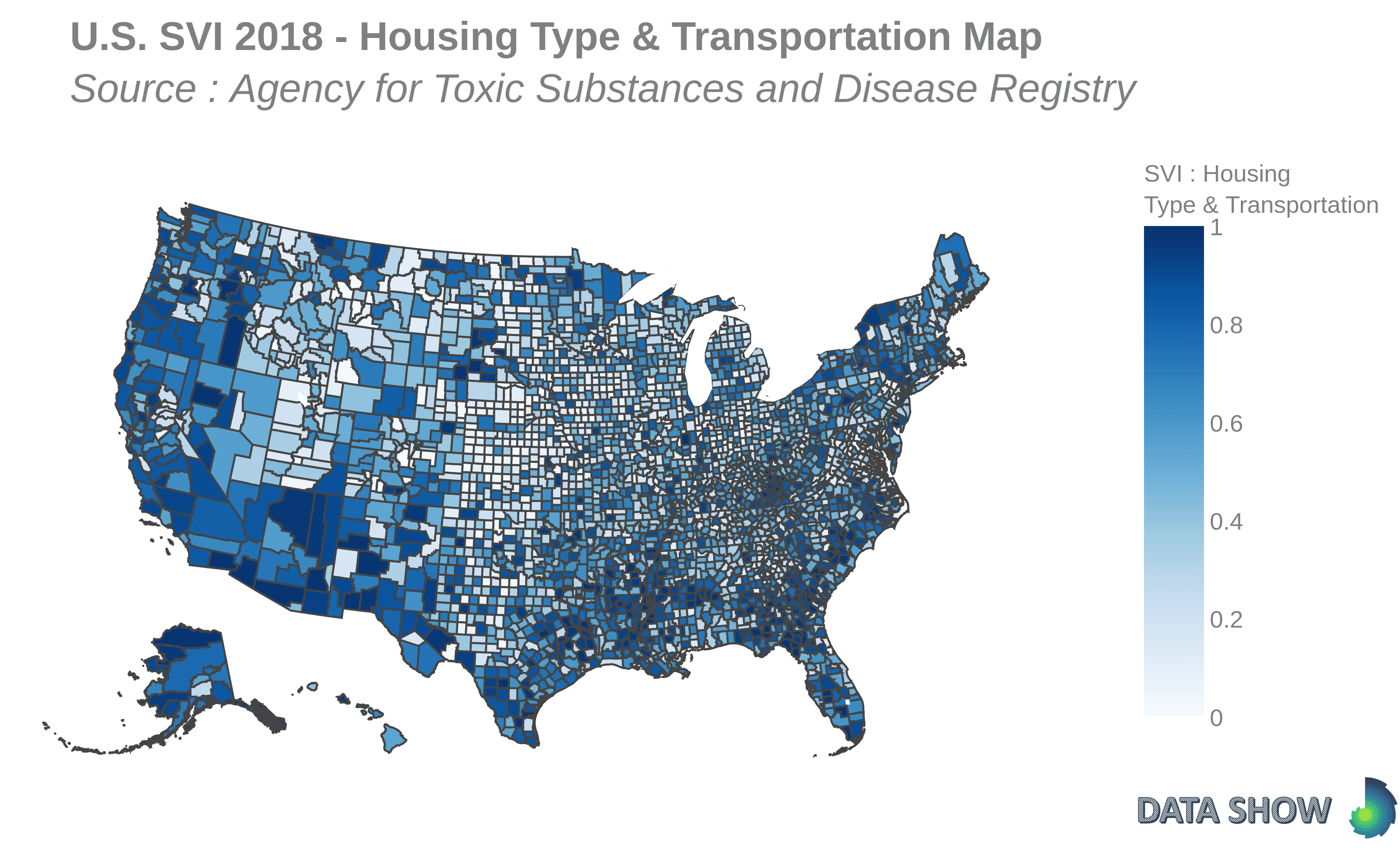
U.S. Social Vulnerability Index 2018 : Housing Type & Transportation Map
Housing Type & Transportation is one of the four themes used to calculate the overall SVI score, measured as a combination of housing structure, crowding and vehicle access. People living in lower quality housing are more vulnerable to natural disasters.

Morgane Bougouin
Aug 31, 2020

